Walkers must obey the Outdoor Access Code, which allows them to take responsible access across most land, while respecting privacy and avoiding hazardous areas such as farmyards. Please respect all reasonable requests from landowners, either spoken or by signage. Thank you.
Please follow the Outdoor Access Code
Walkers must obey the Outdoor Access Code, which allows them to take responsible access across most land, while respecting privacy and avoiding hazardous areas such as farmyards. Please respect all reasonable requests from landowners, either spoken or by signage. Thank you.


The John o’ Groats Trail
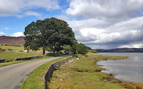
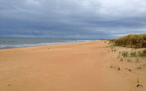
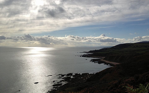
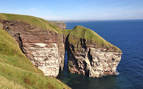
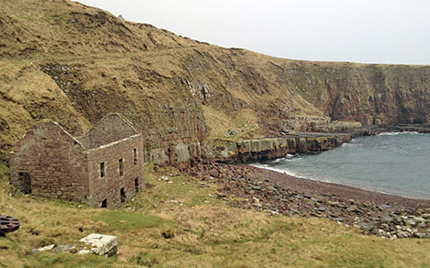
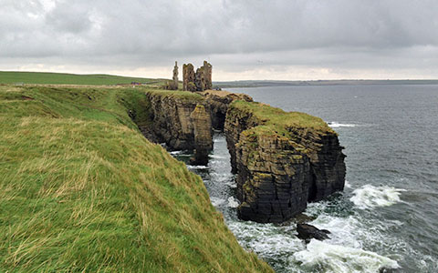
is a 147 mile coastal walking route from Inverness to John o’ Groats, traversing shorelines, cliff tops, back lanes and footpaths of the Scottish Highlands.
The route is a work in progress. Some of it is remote, pathless and challenging terrain. Other sections are already popular walks. See stage status pages.
The walk is meant to be used both by long-distance walkers going as far as to or from Land’s End, and local walkers looking for a coastal stroll.
A bag transfer service and
a booking service are available.
Friends of the Trail
Our charity works to build and promote the trail. We now have over 1000 long distance walkers per year. If every one of them (including you!) donated £50, we would have sustainable funding to complete trail construction in a few years. (That’s 34p per mile, quite a bargain!)
Work continues to bring the route up to the usual standards for walking trails. Please get in touch if you would like to help us.
You can also support our work by becoming a member, donating, remembering the trail in your will or buying a T-shirt or other merchandise.
Challenges
If you decide to try this walk, please be aware that it contains some obstacles that a more established trail would not.
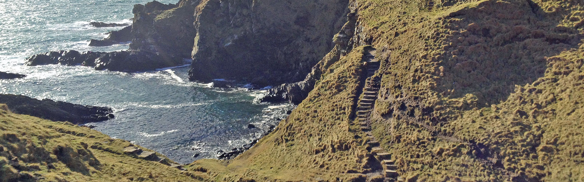
Challenges include occasional tall weeds in summertime, a couple of barbed wire fence crossings, some burn (stream) fording, a few very steep sections, and a bit of boulder scrambling. Clifftop walking required. All of this can add up to danger if not undertaken with care by a fit, experienced walker.
An alternate route is provided on stage 13 to help you avoid the River of Wester during high water conditions.
If you have any questions or doubts, please do not hesitate to contact us.
Our TRAIL HOSTEL is available
for stays at the end of stage 8
The Route

Please click on the map above to see more detail, or see the stage pages for detailed maps of each stage.
A Harvey Map and our Cicerone Guidebook are now available. Please click here for more information.
Please follow the Outdoor Access Code
The John o’ Groats Trail is proudly sponsored by:


![]()

![]()
![]()

![]()
![]()

![]()
![]()

The Stages
Finished the Trail?
THE JOHN O' GROATS TRAIL...
Details and Map "Finished the Trail?"

Inverness to Culbokie
Distance | 15.5 miles /...
Details and Map "Inverness to Culbokie"
Culbokie to Alness
Distance | 9.1 miles /...
Details and Map "Culbokie to Alness"

Alness to Tain
Distance | 14.6 miles /...
Details and Map "Alness to Tain"

Tain to Dornoch
Distance | 8.6 miles /...
Details and Map "Tain to Dornoch"
Dornoch to Golspie
Distance | 13.8 miles |...
Details and Map "Dornoch to Golspie"

Golspie to Brora
Distance | 6.2 miles /...
Details and Map "Golspie to Brora"
Brora to Helmsdale
Distance | 12.8 miles /...
Details and Map "Brora to Helmsdale"
Helmsdale to Berriedale
Distance | 8.9 miles /...
Details and Map "Helmsdale to Berriedale"
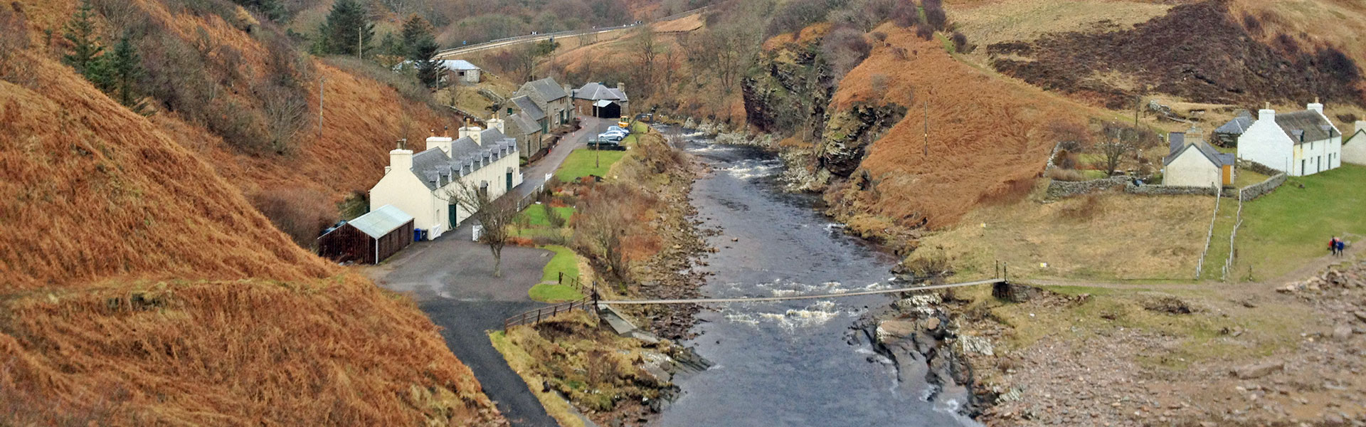
Berriedale to Dunbeath
Distance | 6.5 miles /...
Details and Map "Berriedale to Dunbeath"

Dunbeath to Lybster
Distance | 7.9 miles |...
Details and Map "Dunbeath to Lybster"

Lybster to Whaligoe
Distance | 7.4 miles /...
Details and Map "Lybster to Whaligoe"
Whaligoe to Wick
Distance | 10.6 miles /...
Details and Map "Whaligoe to Wick"
Wick to Keiss
Distance | 12.5 miles /...
Details and Map "Wick to Keiss"