

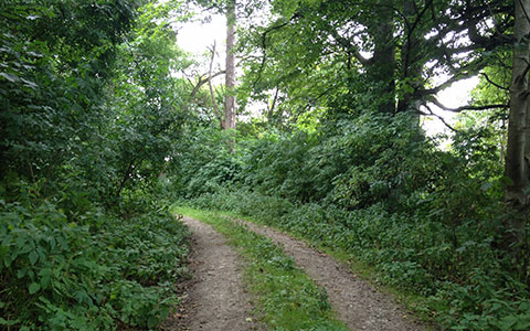
Wooded Lane
Distance | 9.1 miles / 14.8 km Status | Green
The second stage of the JOGT is entirely walkable by the average fit walker. There are no obstacles. Most of the walk is on quiet back roads. All of the stage is marked. The route goes along a quiet rural road for a short distance before crossing the long Cromarty Bridge. It then goes along small quiet rural roads and an off-road walk/cycle trail to Alness.
Challenges
The walker must cross the Cromarty Bridge on the left side, and so must cross the A9 before the bridge. Cross with great care.
Stage End Information
Alness is near the A9 and is served by the Ember buses that connect to Wick, Thurso, and Inverness. It is also served by the Inverness-to-Thurso/Wick rail line. From the Alness train station, exit the station (to the north), continue ahead to the High Street and turn left. In a few minutes you will come to the start point at High Street and Ardross Road. Alness is a medium-sized town with a few hotels, pubs, and shops.
More information
https://www.walkhighlands.co.uk/lochness/culbokie-alness.shtml